Tracker Placement
Placing single-axis trackers in SolarFarmer is usually straightforward, but there are several settings that change how this behaviour works which are important to understand. These will be explained here.
Placement Mode
As discussed in Tracker Layout Parameters, there are two options for the Placement Mode for tracker layout regions:
- In plane - the trackers are positioned on the same plane
Follow terrain - the trackers are draped over the terrain

The following image illustrates two layout regions crossing a small valley - the one in the background is 'In plane', the one in the foreground is 'Follow terrain':
![]()
Two properties of the tracker system specification being used in the layout region are relevant to the lay out process:
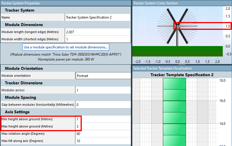
- Min height above ground
- Max height above ground
For In plane - a plane is created that covers the layout region area and automatically fits as best as it can to the underlying terrain.
- The minimum height above ground property is used to distance the plane at its closest point to the terrain, and the trackers placed on the plane.
This may result in some trackers being a fair distance from the terrain (see the error below).
For Follow terrain - a similar plane is created (and used for the tracking algorithm). However, the individual trackers are placed on the terrain at a distance of the min height above ground property at either end of each tracker. This results in their following the terrain.
The algorithm used to determine the rotation angles for the trackers is the same as if they were on the plane, but the row-to-row shading between rows of trackers takes their 3D positions into account (when running the 3D calculation).
When used in the 2D calculation, the trackers are placed on the plane, even when Follow terrain is selected.
The difference in energy between Follow terrain and In plane is the tracker terrain loss or the energy lost due to the terrain that could potentially be partly recovered using some advanced tracker algorithm or tracker technology (not yet implemented in SolarFarmer).
Identifying badly-placed trackers
As trackers tend to be long structures, and the terrain underneath them can sometimes be complex, the trackers can be too high from the terrain surface, or can intersect the terrain. SolarFarmer lets you know in both these cases.
Trackers too high from the terrain
You may sometimes see an 'Invalid Trackers' warning similar to the following when laying out trackers:
![]()
This means that one or more trackers in the layout are higher than the max height above ground property (see above) of the tracker system specification being used in the layout region.
It colours the invalid trackers in light blue to help you identify them (in both the 2D and 3D views):
![]()
This usually happens when you choose In Plane and the terrain is complex resulting in some trackers being suspended too high off the terrain.
It can sometimes happen when you choose Follow terrain and the trackers are long and there is a valley between either end of a tracker, resulting in the middle section of the tracker exceeding the Max height above ground value.
To fix this error
Either:
- Choose the Follow terrain option for the layout region (you may have to check the 'Auto Fill' checkbox for the layout region to change this).
- Increase the Max height above ground value for the tracker system specification being used in the layout region. Before you can do this you will have to delete all the trackers of this specification (in the layout region, just selected 'None' in the tracker system drop down as an easy way of doing this).
Be careful of increasing the Max height above ground value to be too big - it has to be realistic! You may need to redraw the layout region to something smaller to get a better fitting plane to the ground.
Calculations will still run with this warning, but it may be worth investigating first to make sure that your layout is as you think it should be.
Trackers intersecting the terrain
The opposite problem to the one above is when trackers intersect with the terrain. If the trackers are long and the terrain is complex, this can happen, especially near the peaks of hills.
![]()
In this case, an error will show and the intersecting trackers will be coloured in yellow to help you identify them (in both the 2D and 3D views):
![]()
To fix this error
This is a little harder to resolve. It shouldn't happen if you choose In Plane as the plane will be set at the Min height above ground value.
Editing the layout region and moving the lower edge of the layout region may help. The tracker positions will move along the row and they may be better placed.
Choosing smaller trackers may help, but this is often not an option.
You could add an exclusion region covering the problem area (often the peak of a hill) to avoid trackers being placed there.